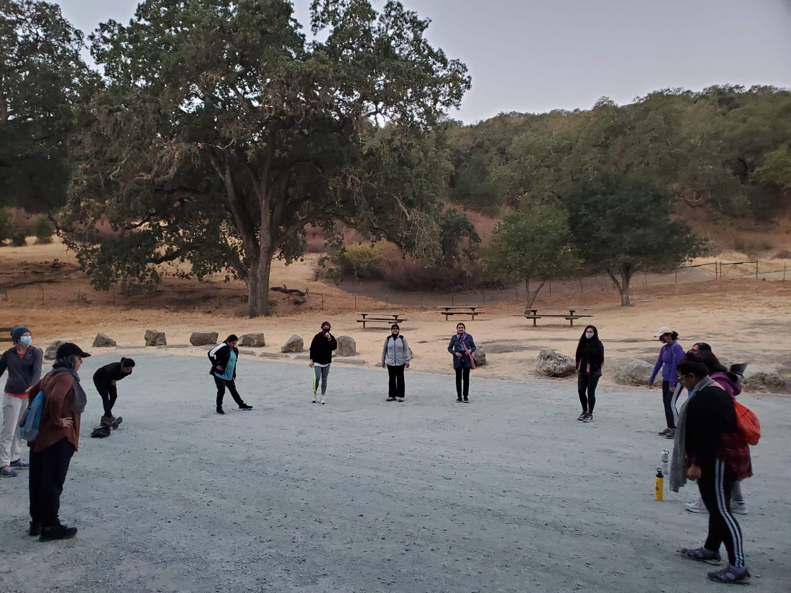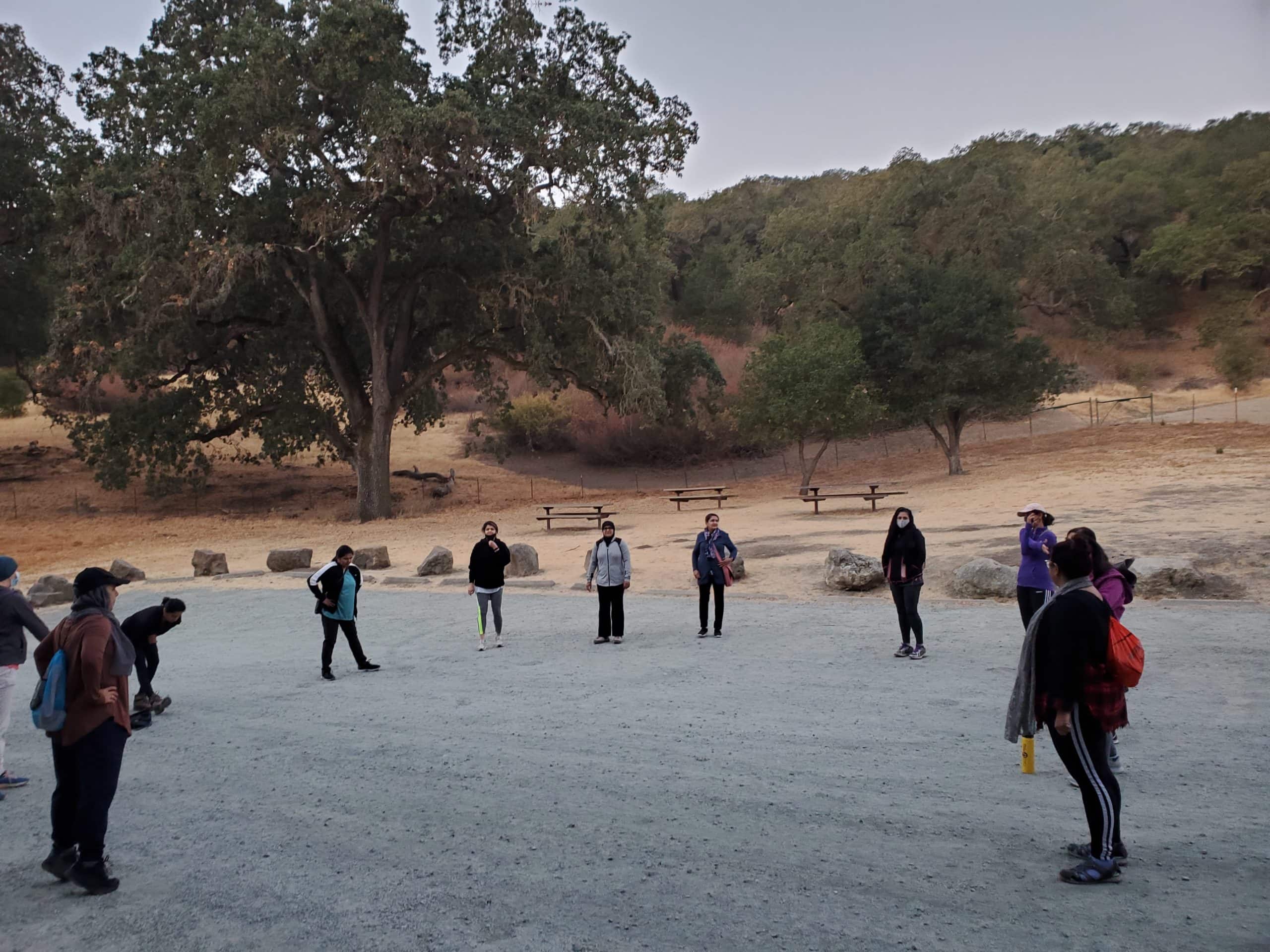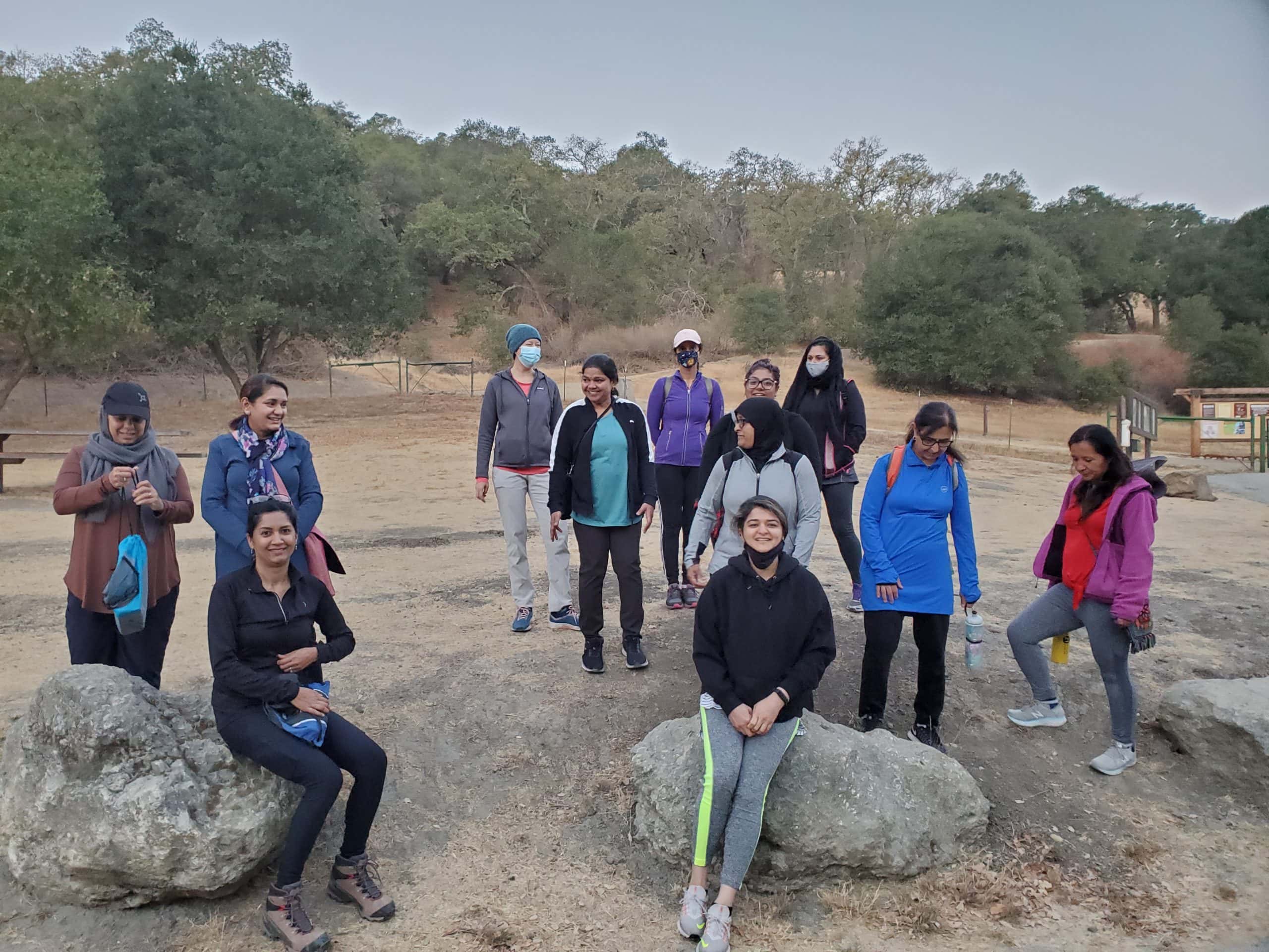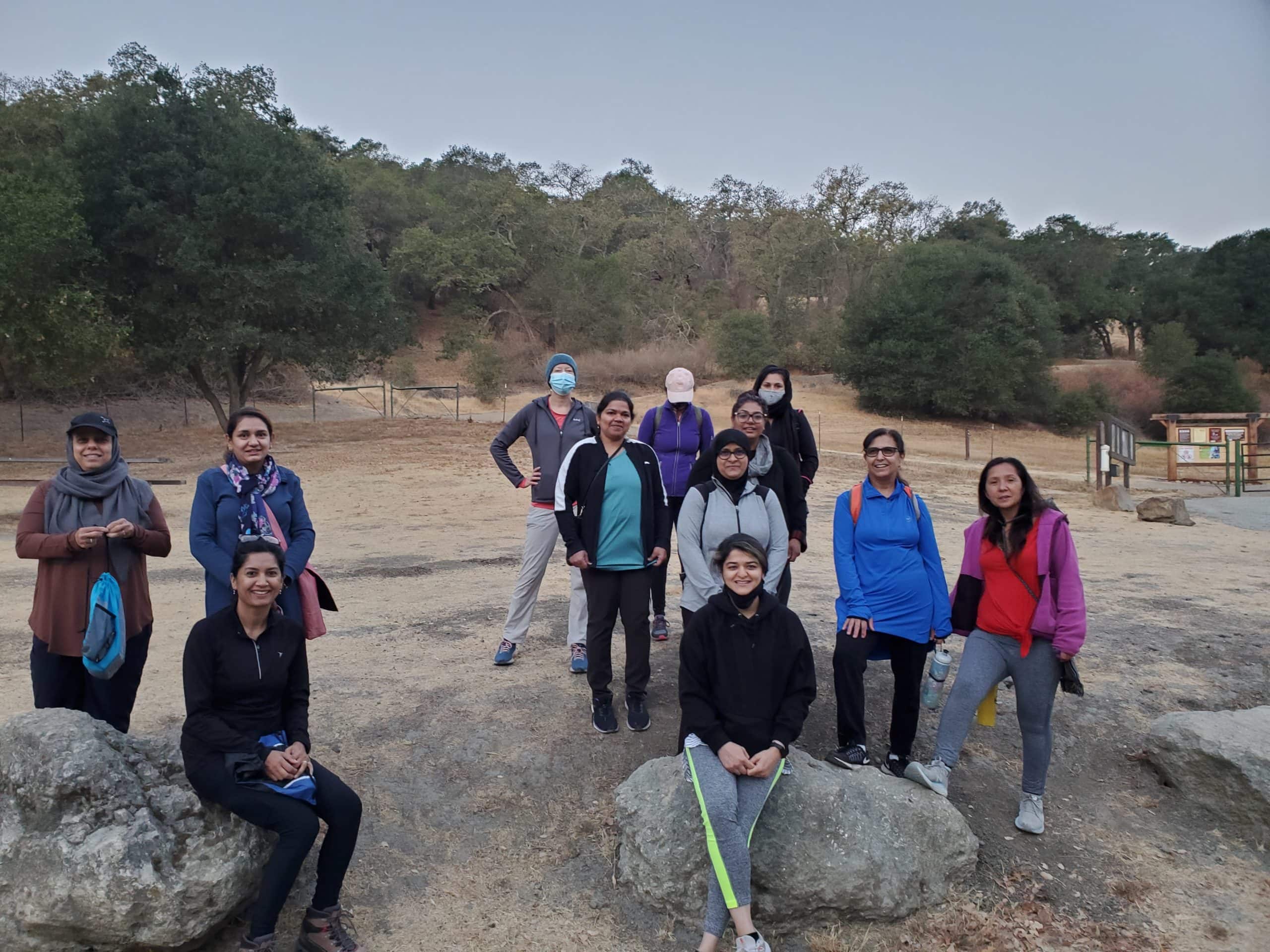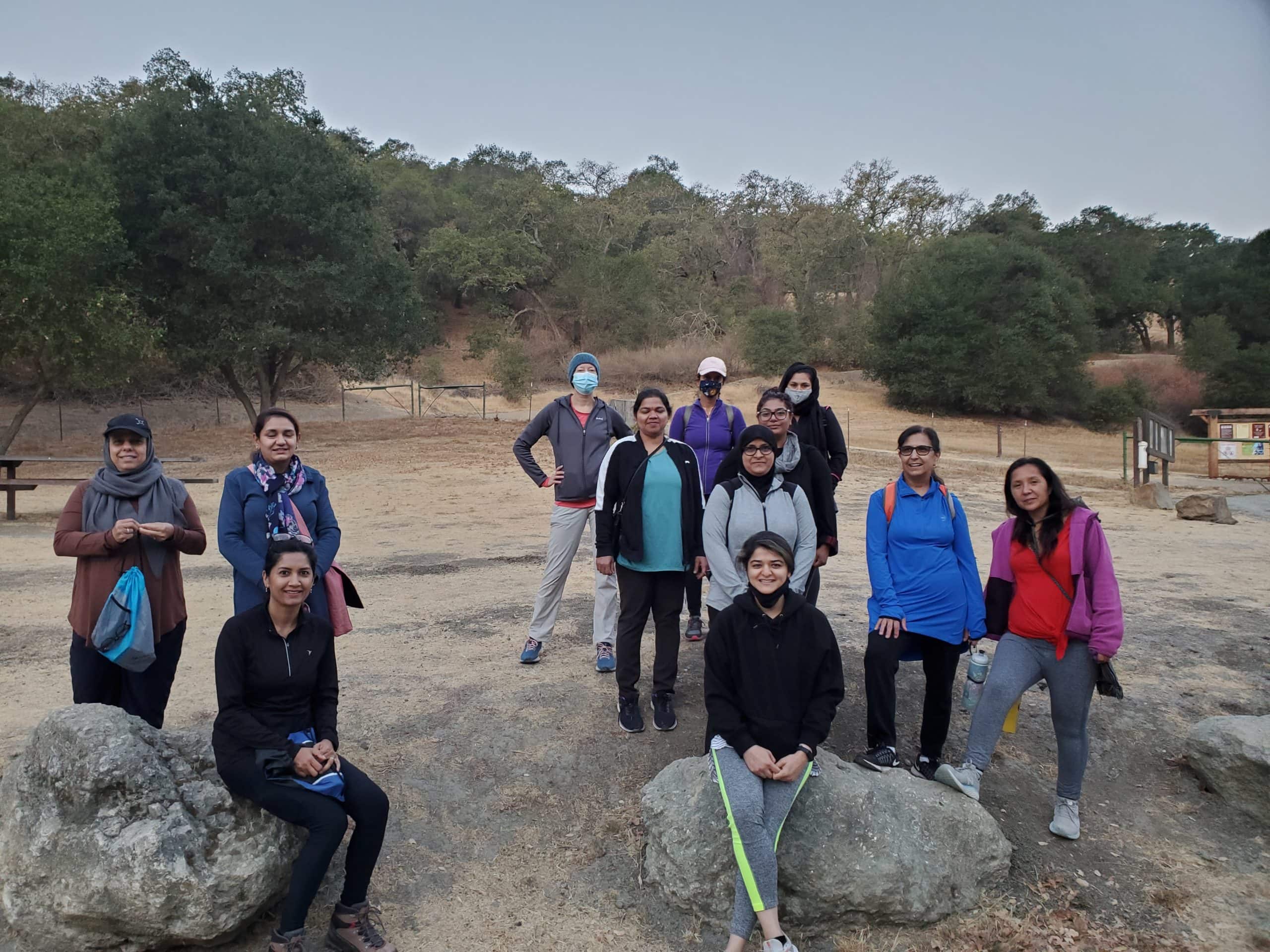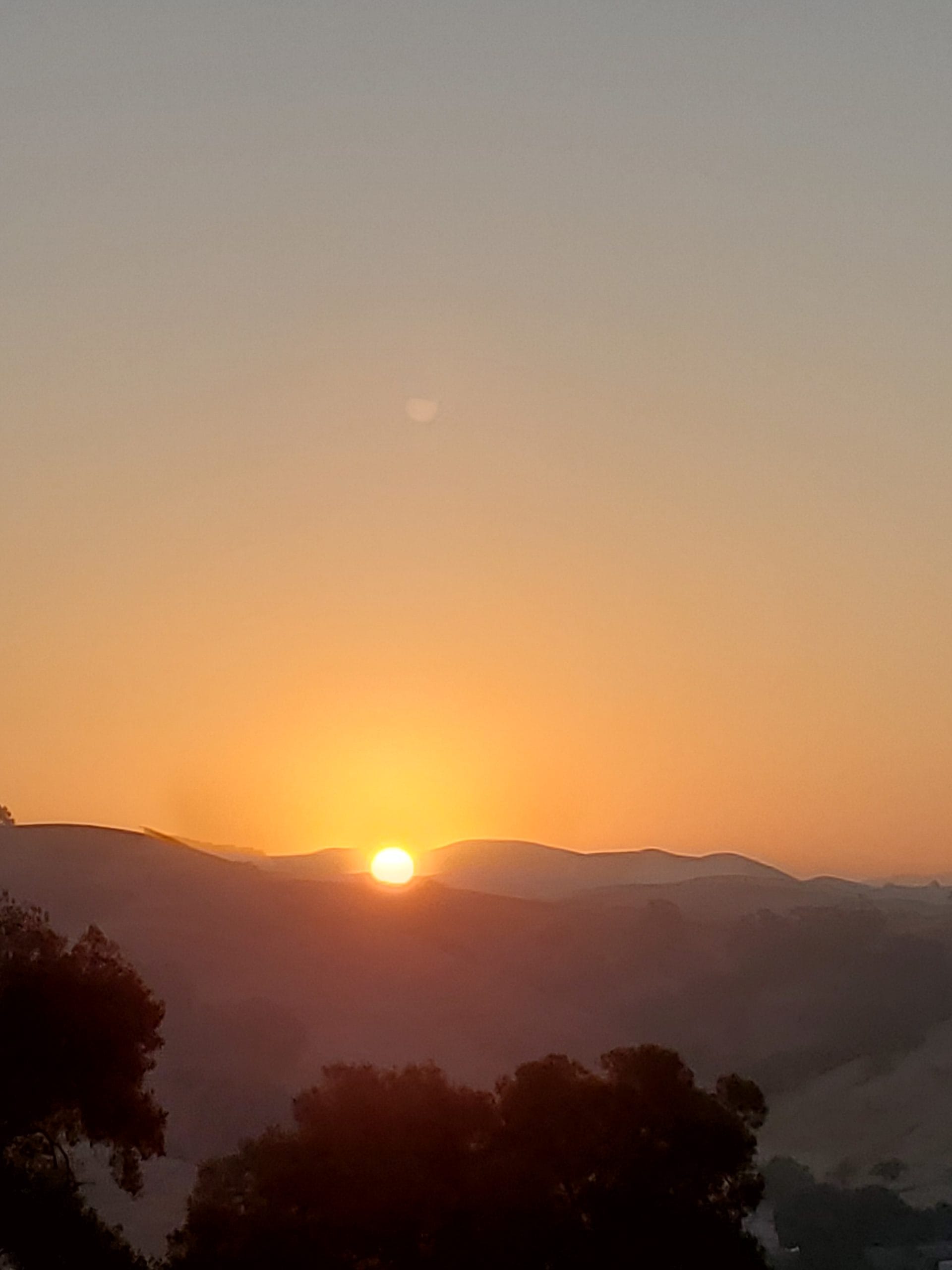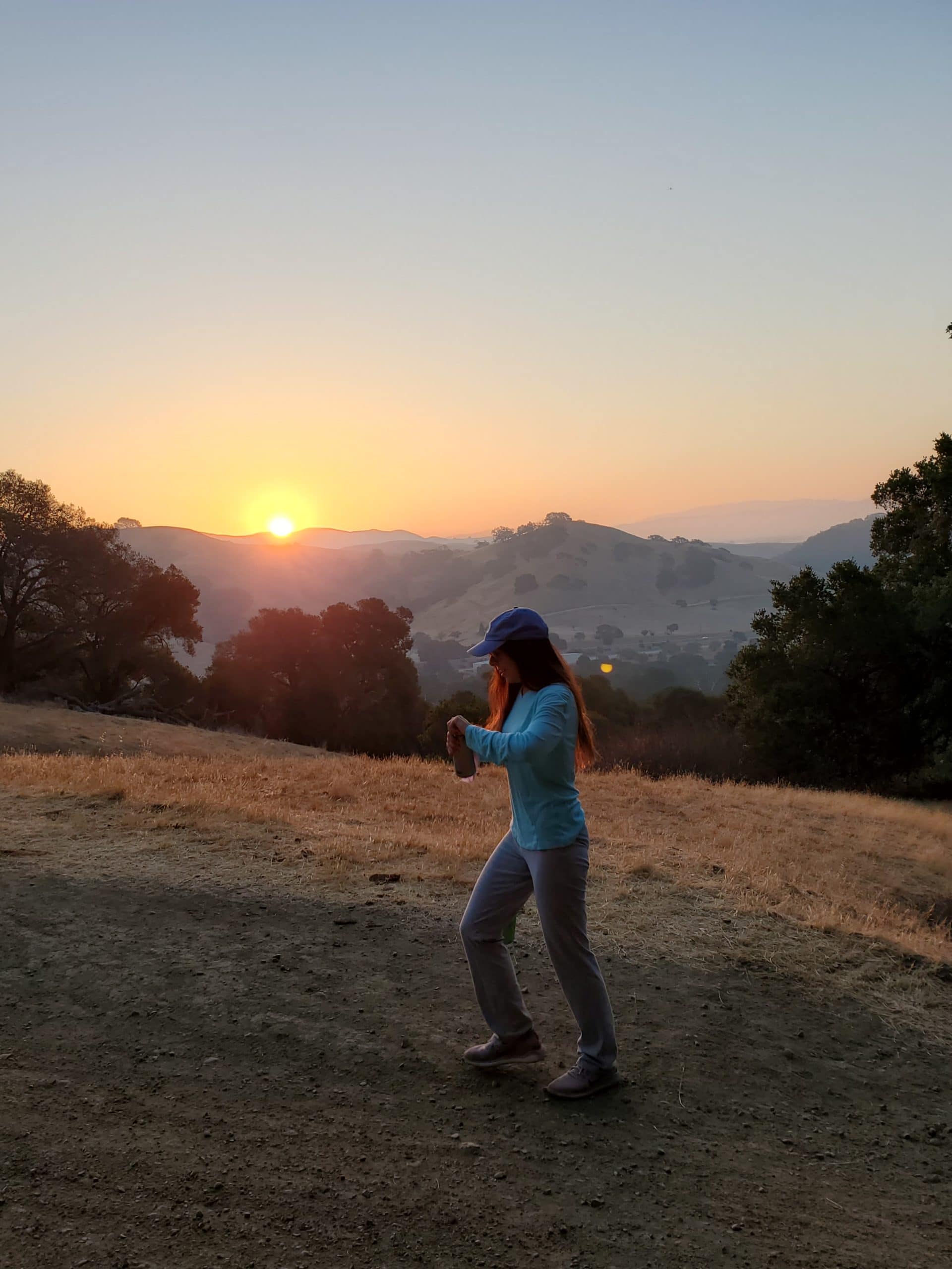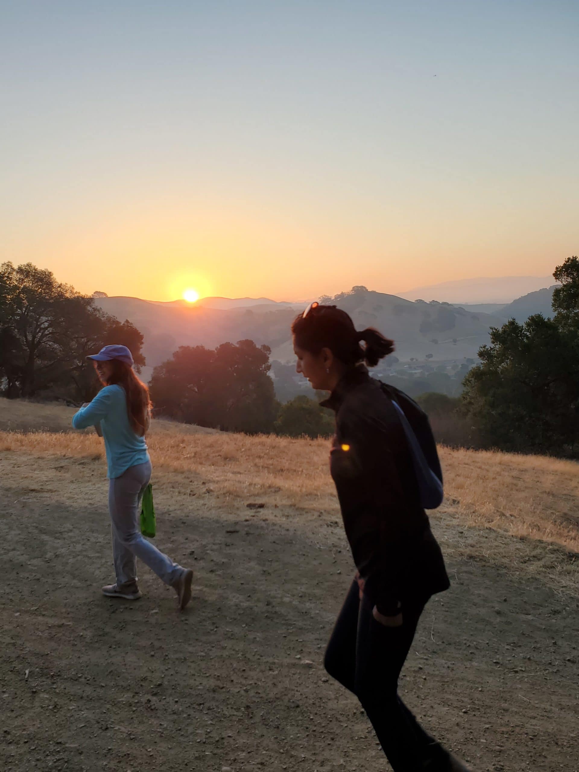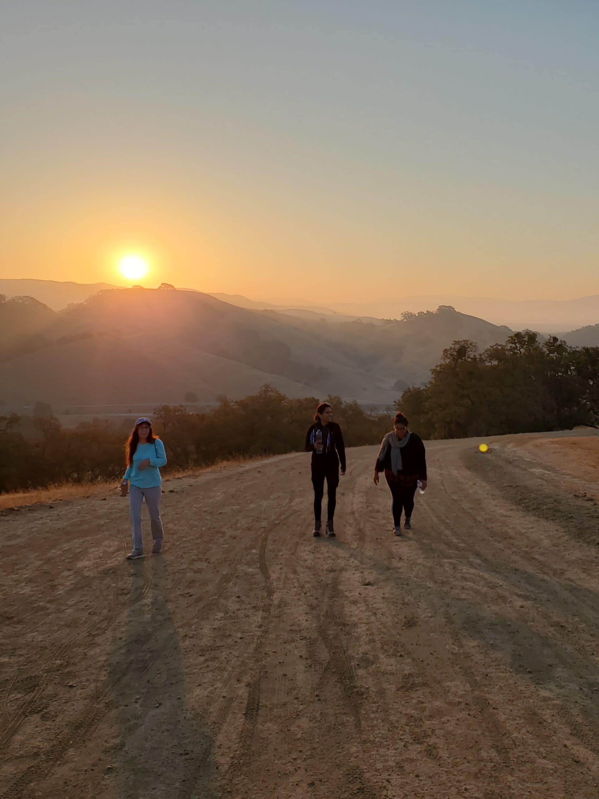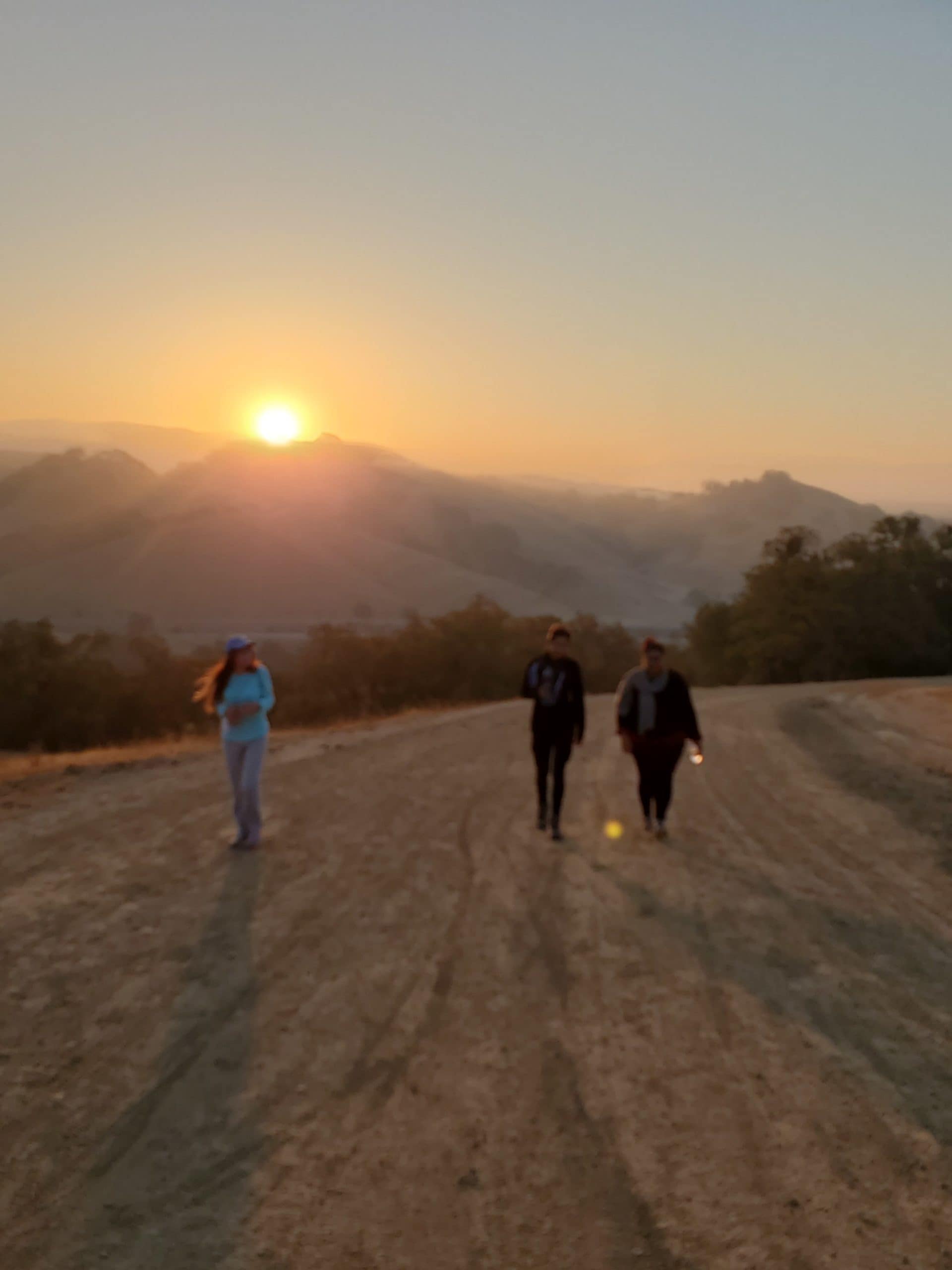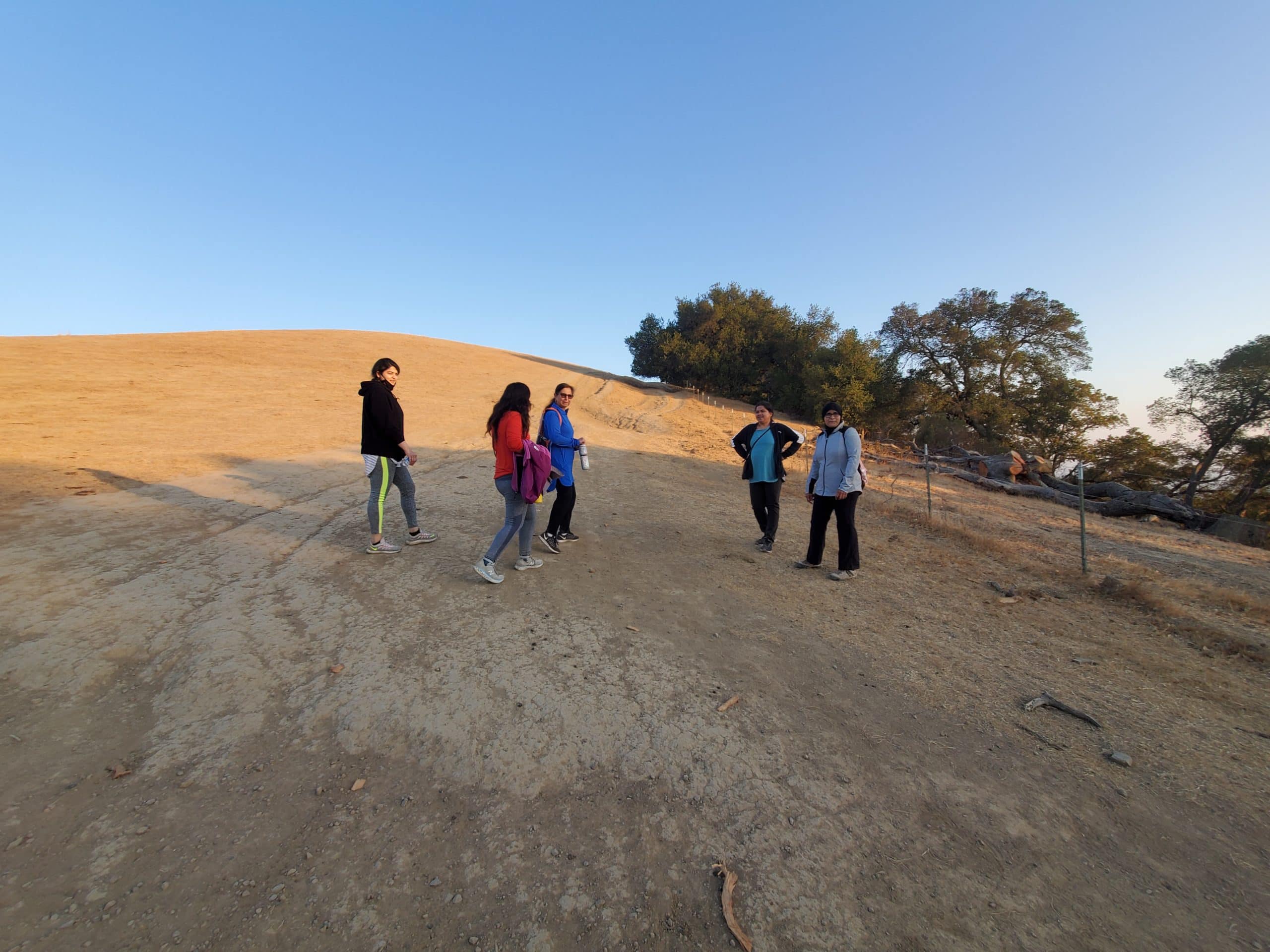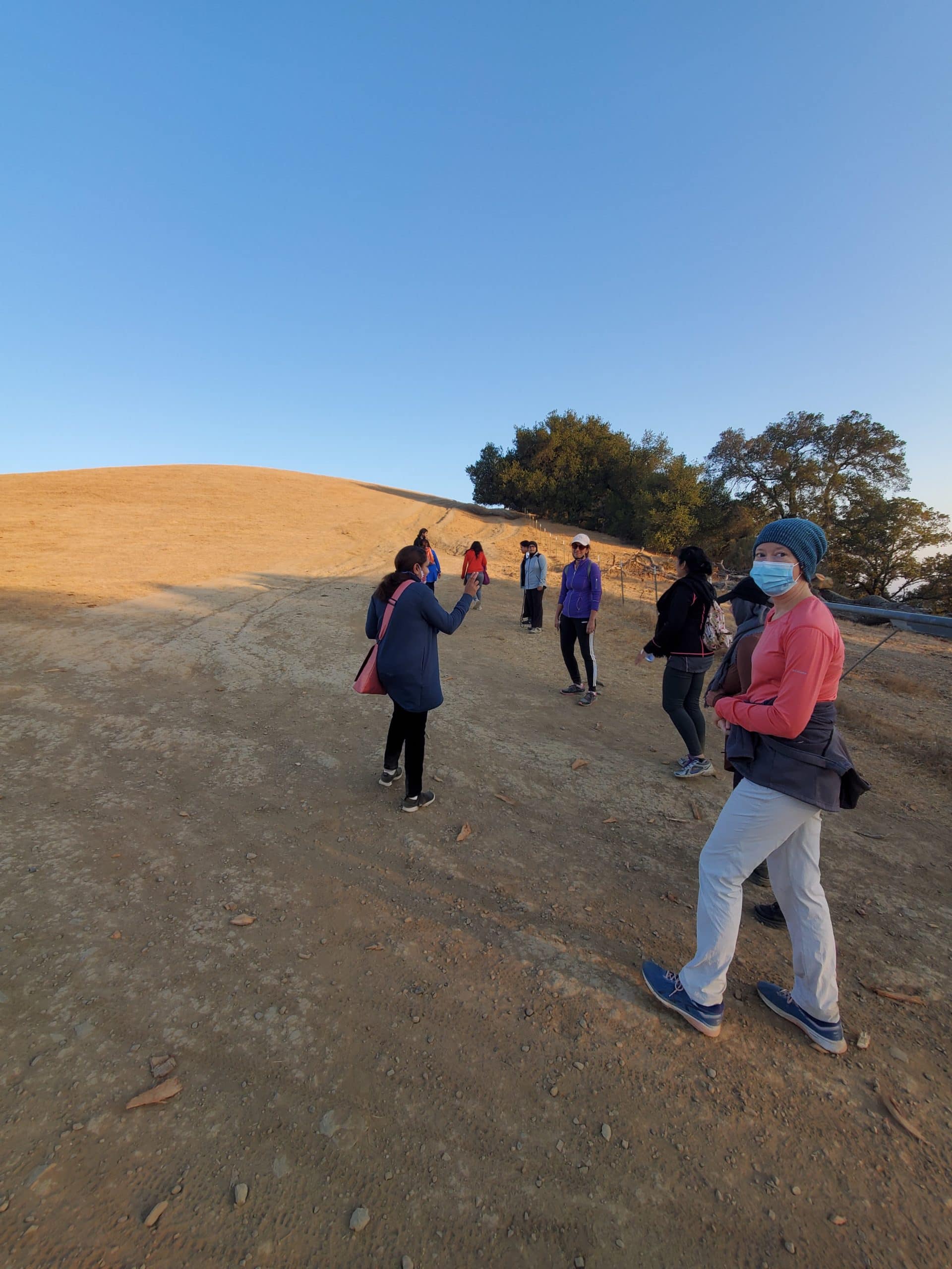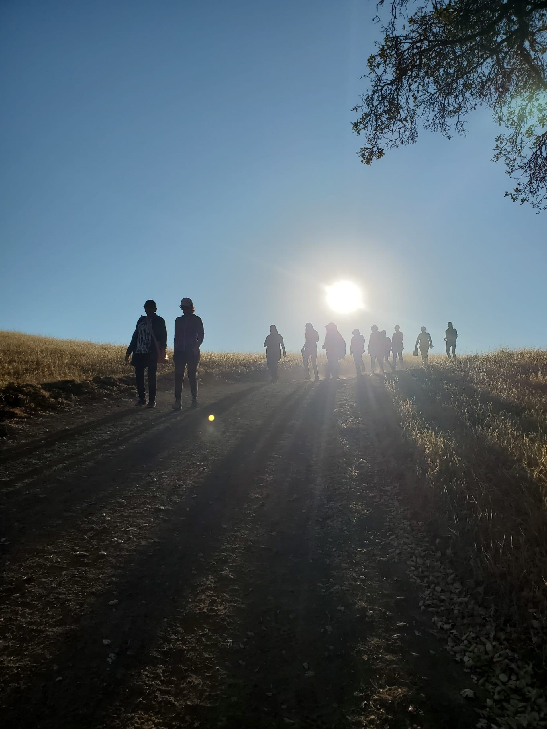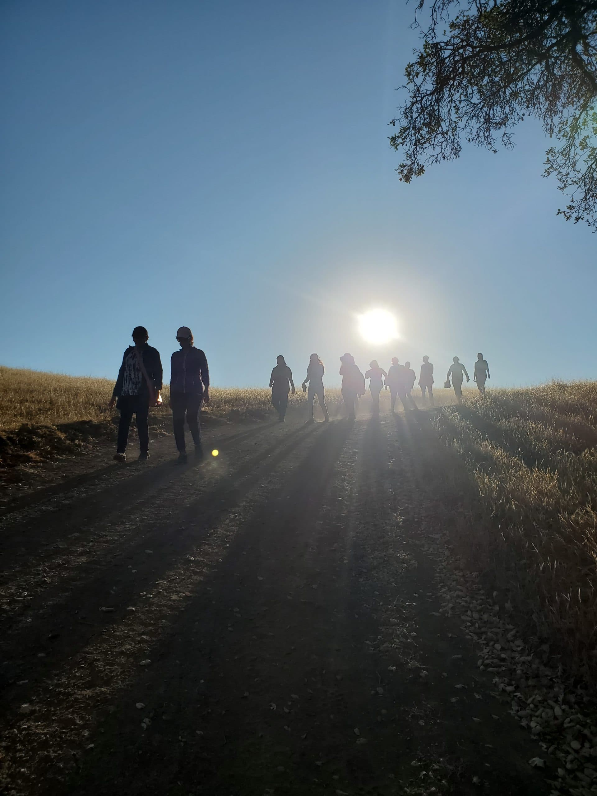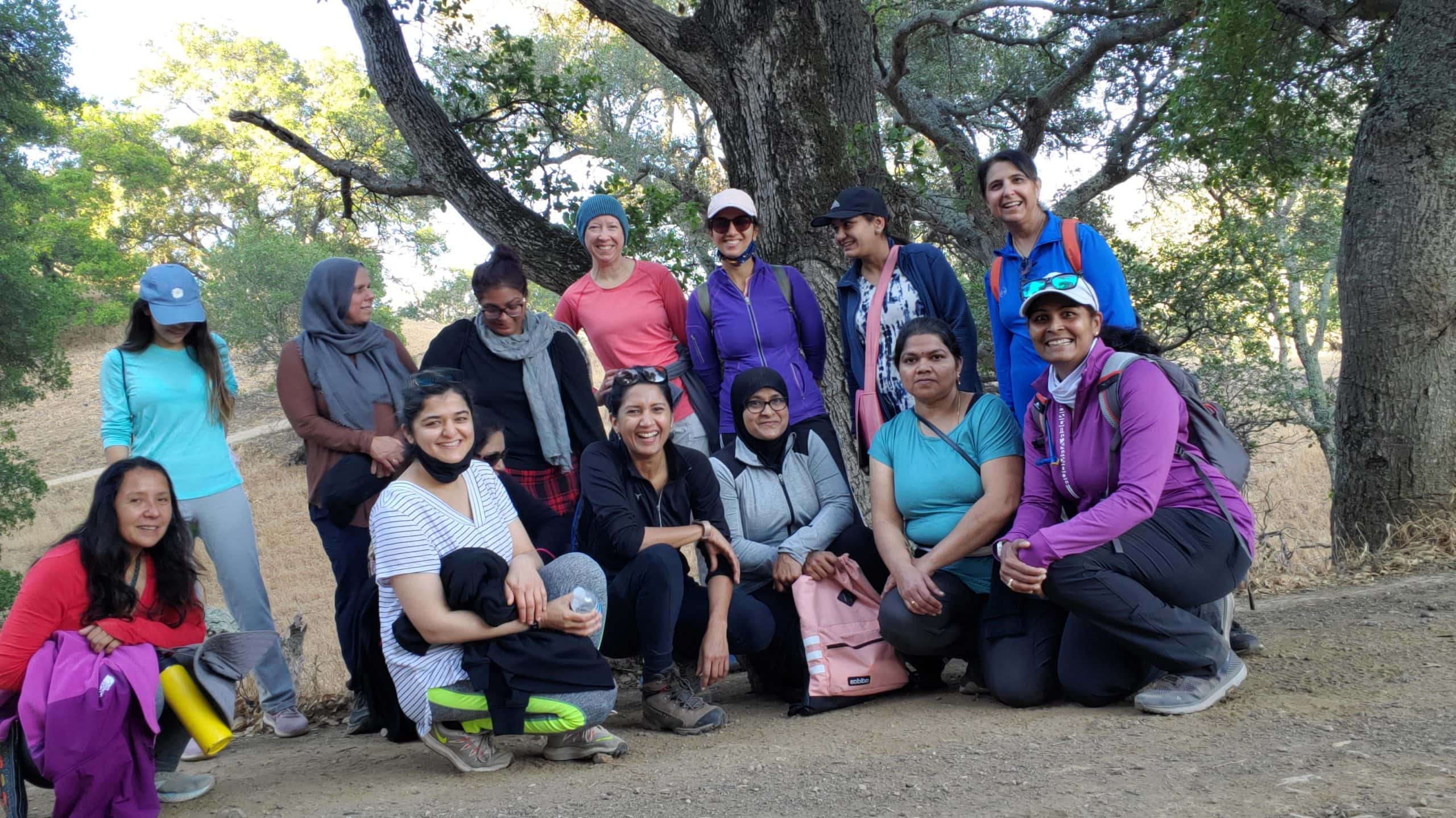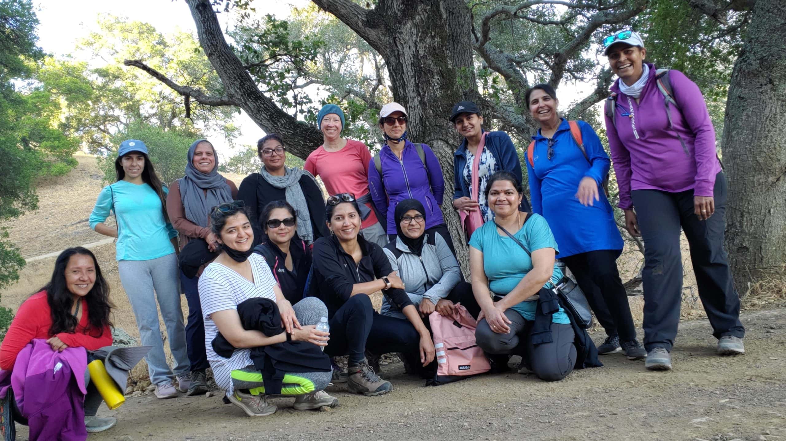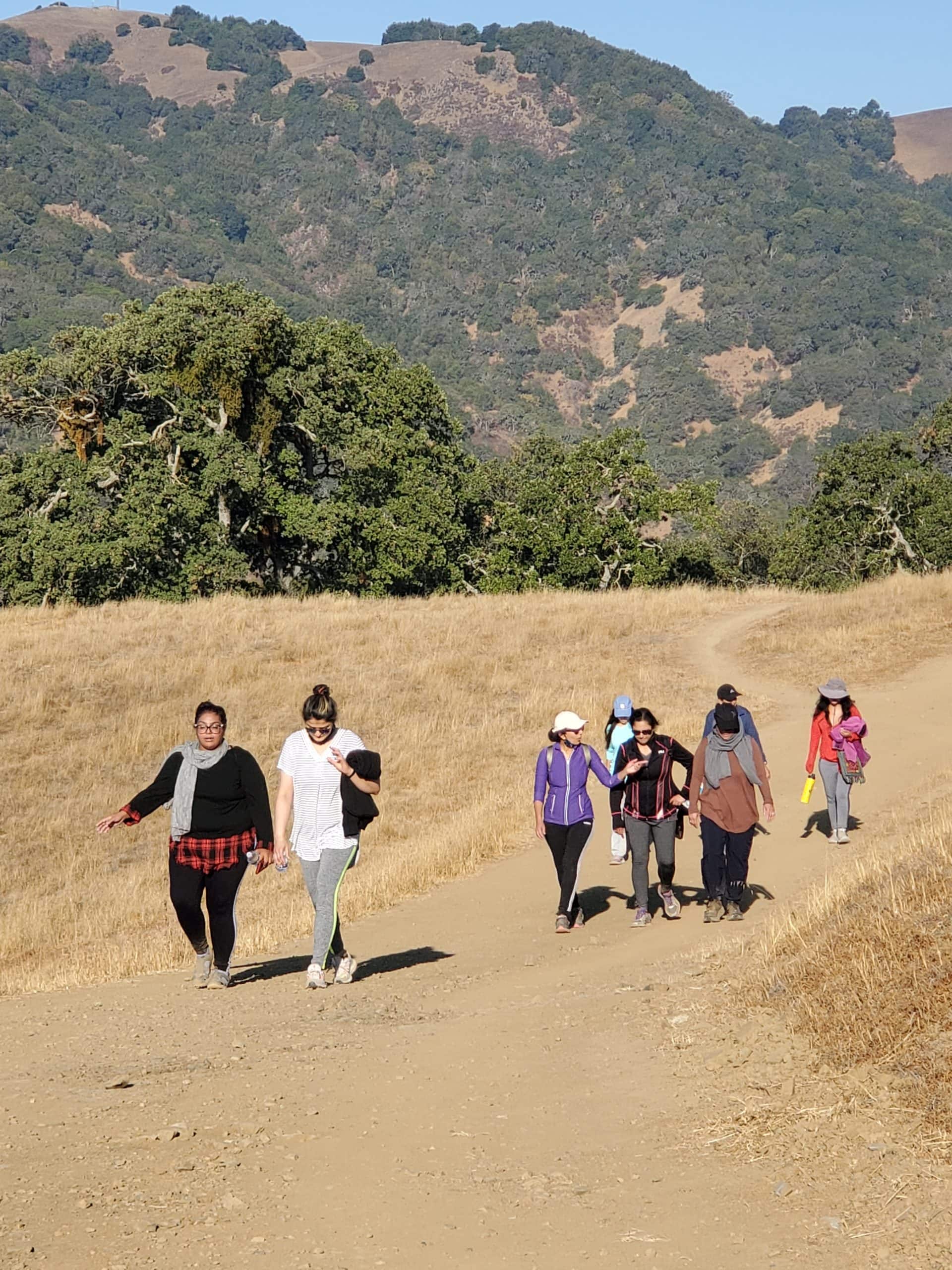

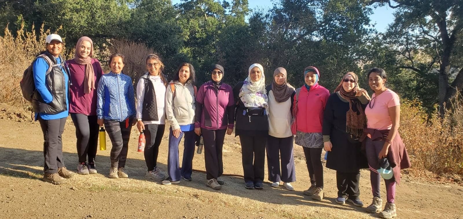
Join us from 6:30 a.m. to 9 a.m. on Saturday, September 4 for a Saturday morning hike at the Pleasanton Ridge to get to know other sisters in the community and enjoy the great outdoors.
Message hiking@mcceastbay.org with your name & cell phone number by Friday, September 3 to RSVP.
Please come prepared with water, snack and hiking/running shoes.
For future hikes, please subscribe to the MCC newsletter and/or add your phone number to the Women’s Hiking WhatsUp group.
On the day of the hike, if you have trouble finding the group, please call or text Hike Leader Sr. Aparna Khan at (408) 480-6584. Please remember that we cannot hold all the group , request you to please be on time.
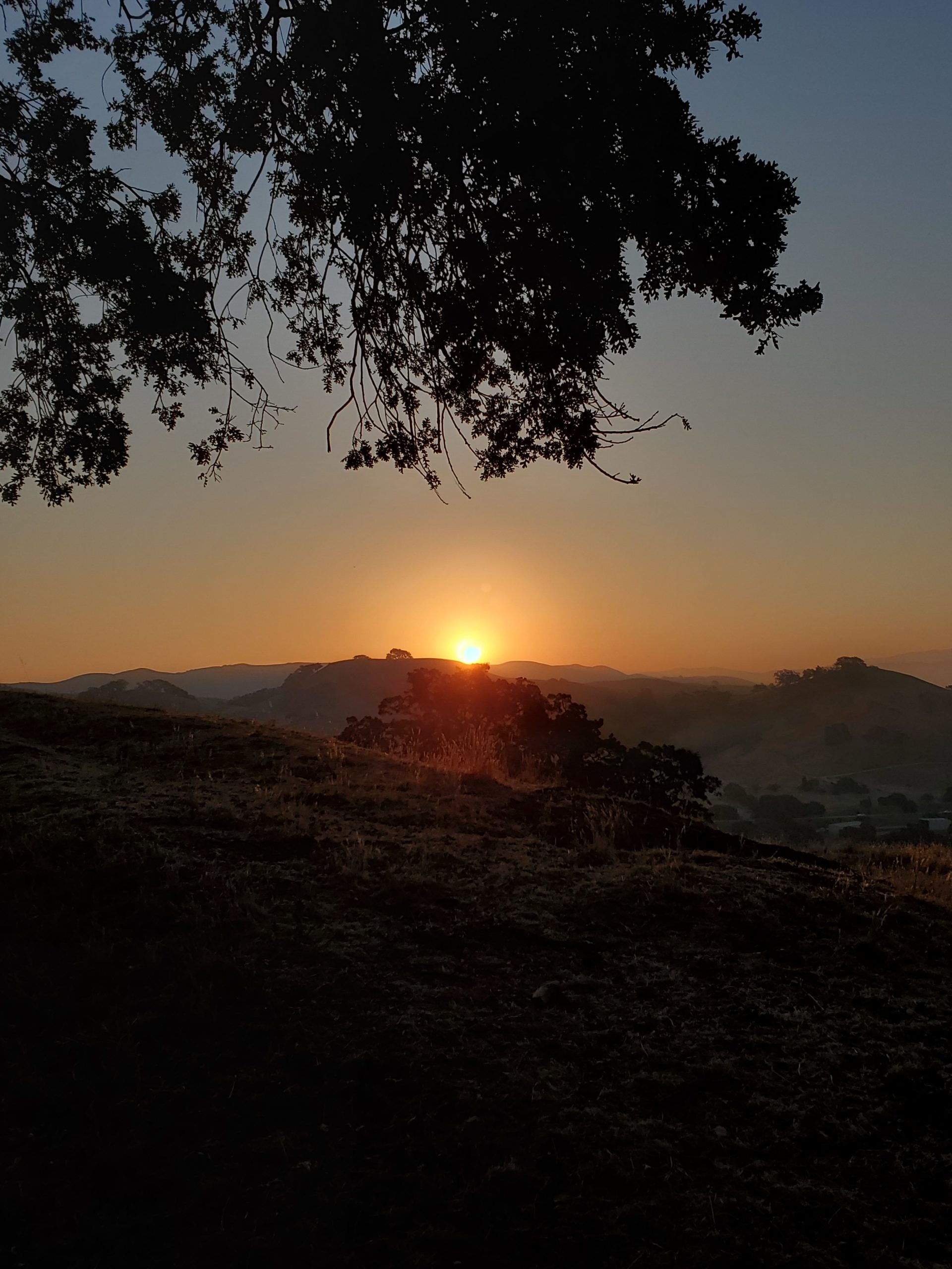
Location: Pleasanton Ridge
Time : 6:30 a.m.. Let’s meet by the Pleasanton Ridge parking lot between 6:20 a.m. to 6:30 a.m.
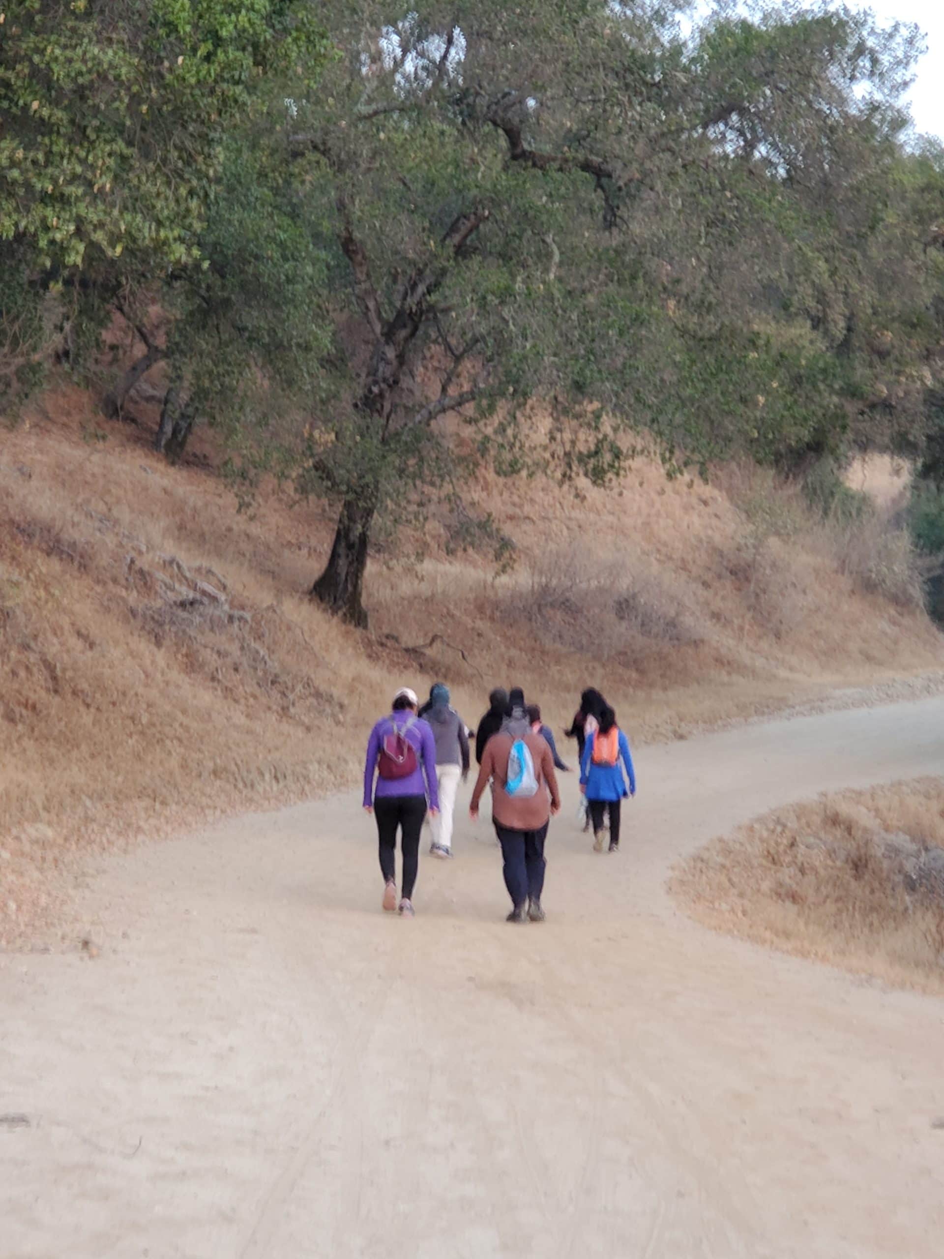
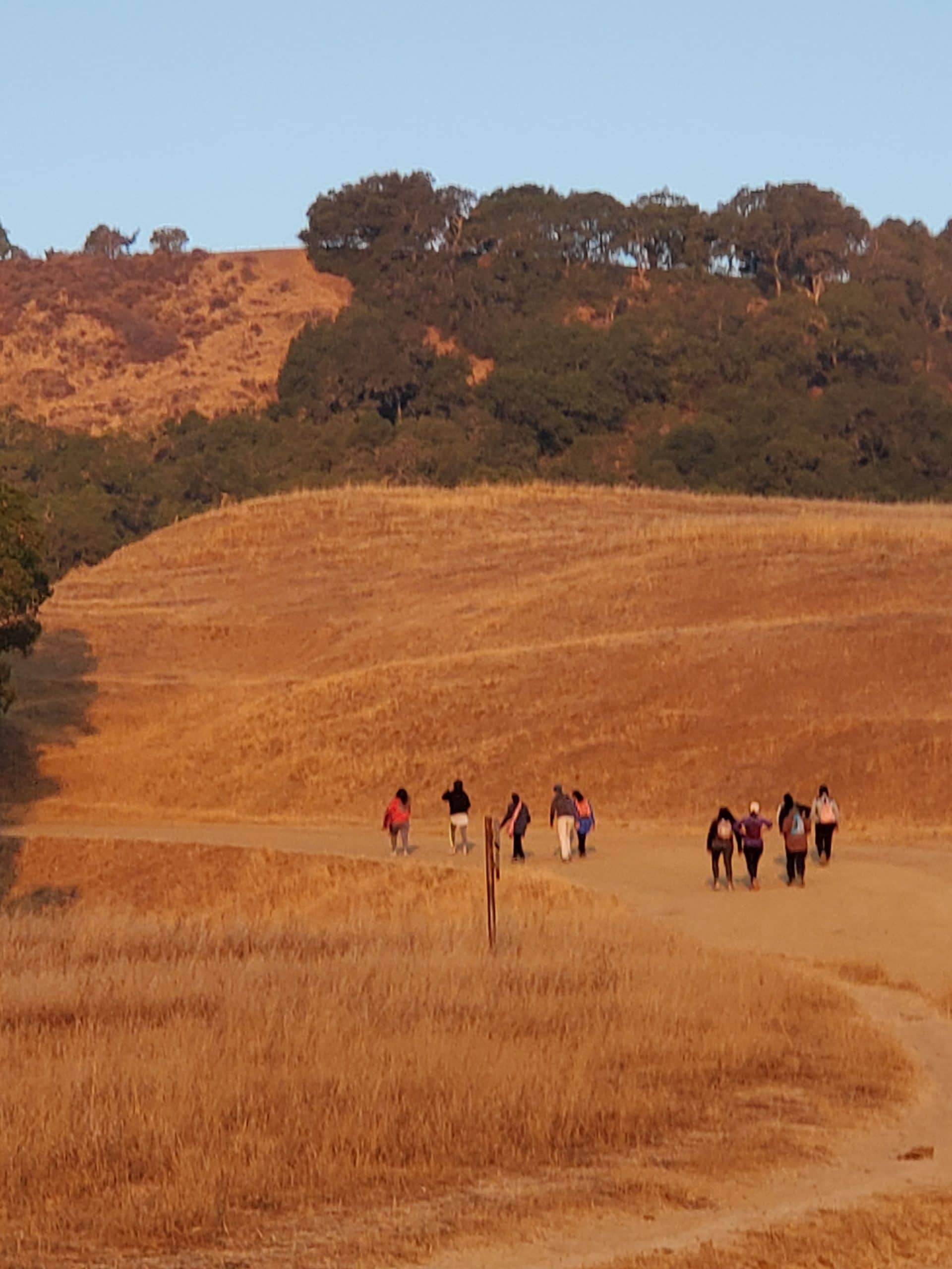
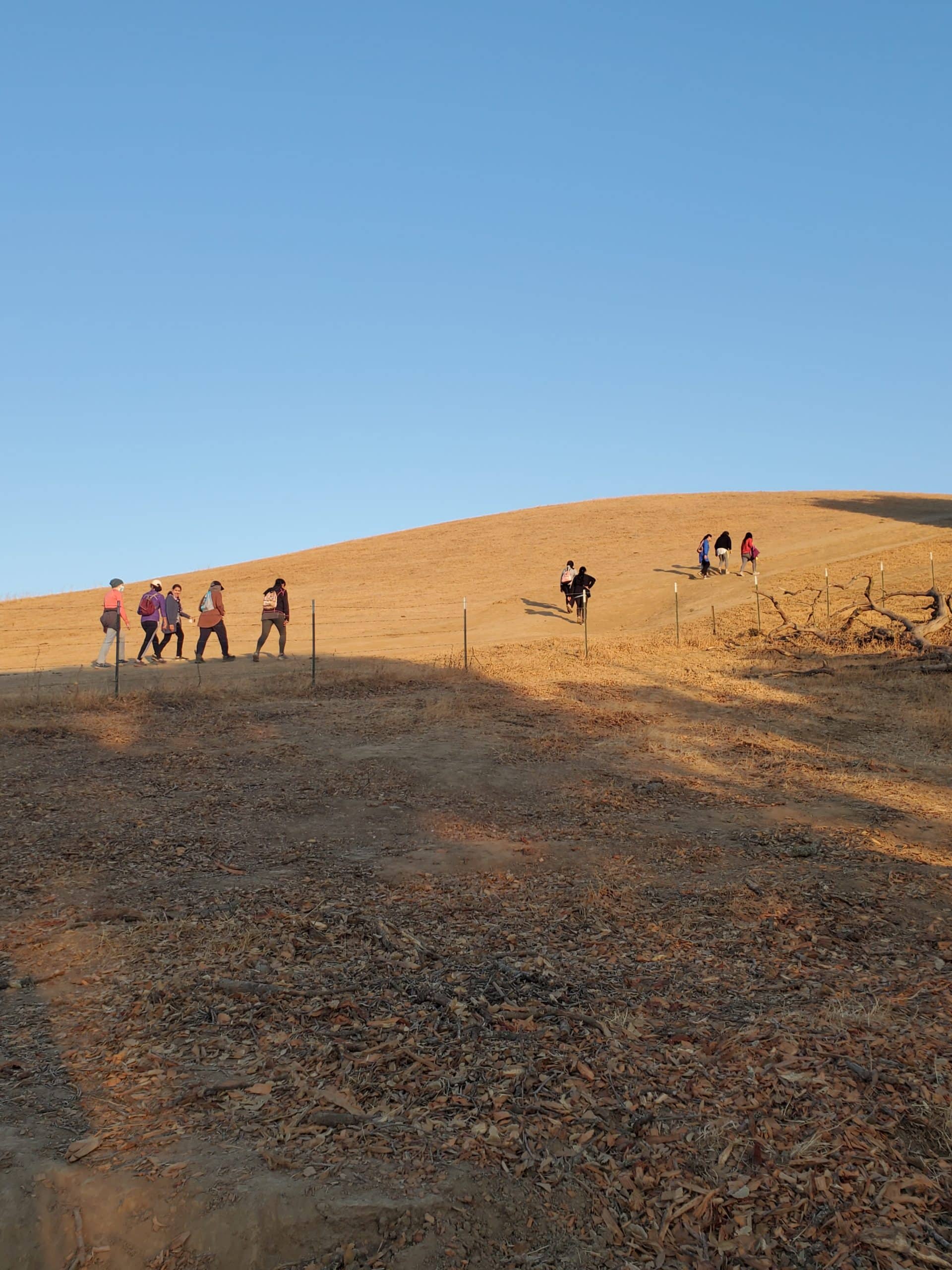
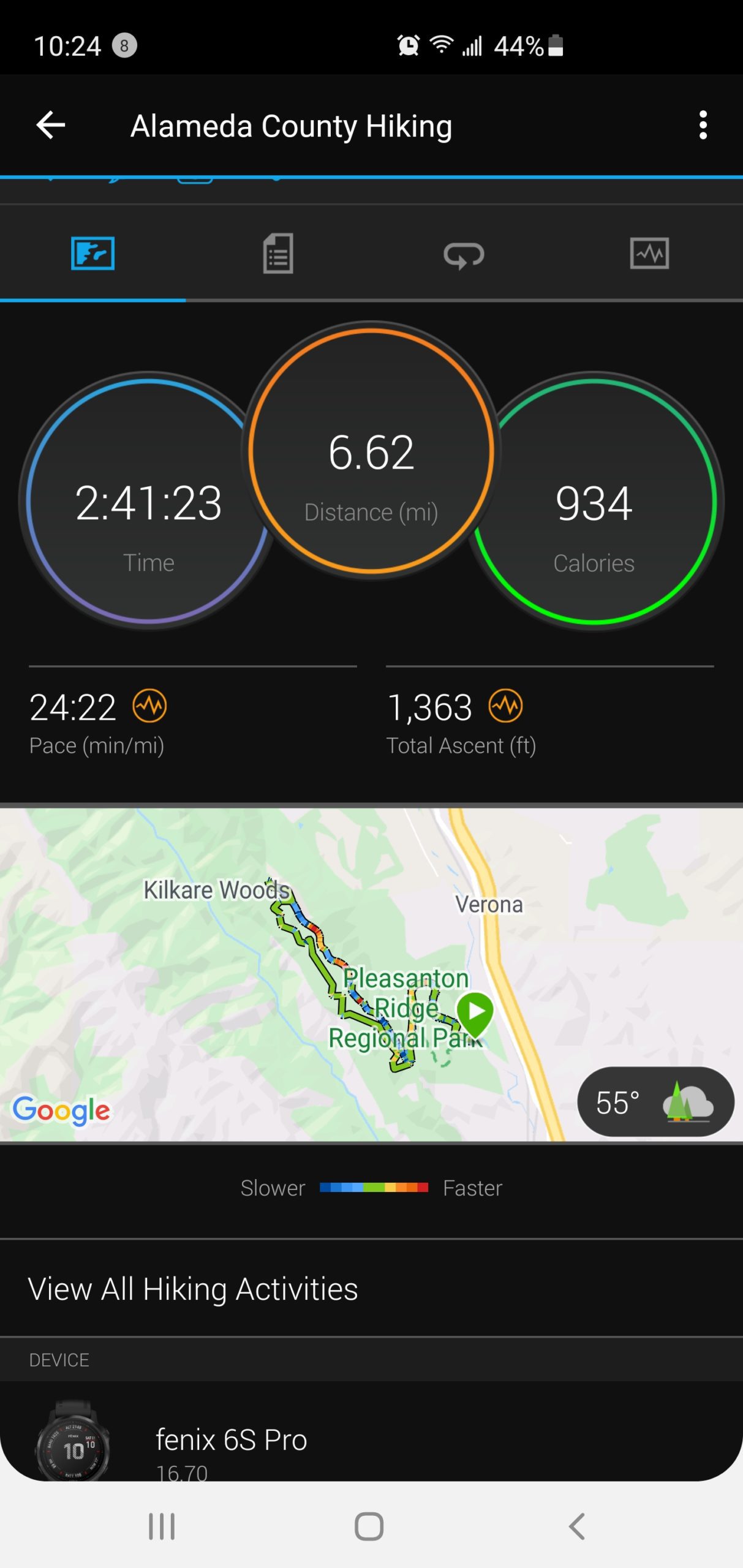
Distance: Around 6.2 miles and not stroller friendly unless you have a jogger stroller
All trails Map: We will be doing this trail https://www.alltrails.
Parking Fee: Free
Difficulty: Most of the Thermalito Ridgeline Oak Tree Trail is moderate level but it does have some elevation gain. Please refer to alltrails for hike difficulty If you are first timer hiking, it might be little difficult.
Carpool from MCC: No planned carpool
Please wear comfortable walking/hiking shoes, carry water bottle, small snack, hat, sunglasses and hiking poles if you have.
Questions? hiking@mcceastbay.org
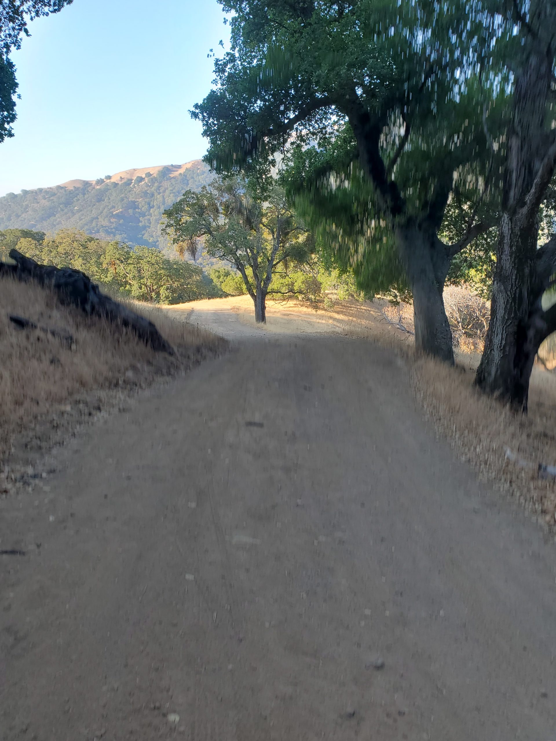
Thermalito Ridgeline Oak Tree Trail
Thermalito Ridgeline Oak Tree Trail is a 6.2 mile heavily trafficked loop trail located near Sunol, California that features beautiful wild flowers and is rated as moderate. The trail offers a number of activity options and is accessible year-round. Dogs and horses are also able to use this trail. See here: https://www.alltrails.com/trail/us/california/thermalito-ridgeline-oak-tree-trail–2
Elevation gain: 1,325 ft.
Route type: Loop
About The Park
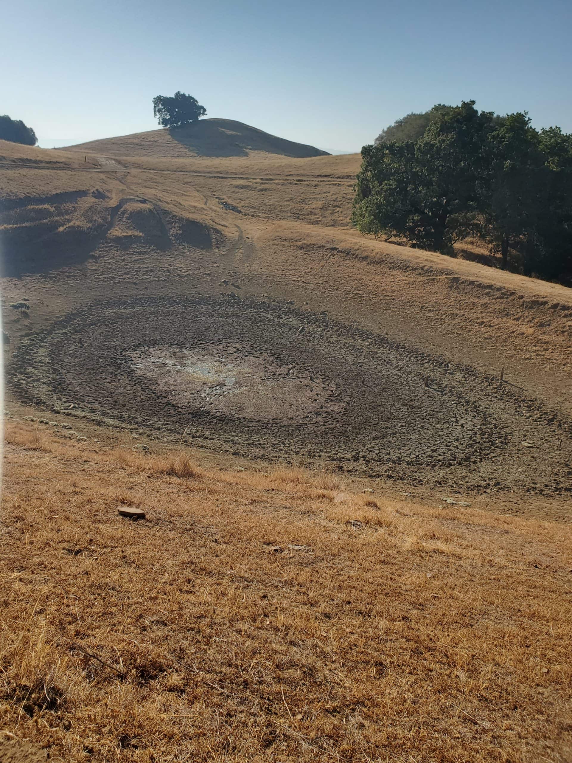
This beautiful 5,271-acre parkland is on the oak-covered ridge overlooking Pleasanton and the Livermore Valley from the west. It is planned as the core of a Ridgelands Regional Park to be acquired over a period of many years. Parkland development has been intentionally limited to preserve the pastoral atmosphere.
The park occupies Pleasanton Ridge and beyond. To the northwest it spills down off Pleasanton Ridge into upper Kilkare Canyon, where it continues up onto Sunol Ridge, finally terminating at its westernmost corner in Stoneybrook Canyon. Inside the park, elevations exceed 1,600 feet.
Park Activities
From the main staging area on Foothill Road you can follow a multi-purpose trail system, which accommodates hikers, equestrians, and bicyclists, provides canyon views and ridge-top vistas, and access to remote, deep-canyon streams.
 Park Accessibility
There are one paved disabled parking and one wheelchair accessible portable toilet in the Foothill staging area. The two old redwood type drinking fountains would allow a wheelchair to get under but there is no smooth surface under these facilities. The park will install an upgraded fountain this summer for wheelchair users in an area by the disabled parking. There is one picnic table that can accommodate two wheelchairs and is also next to the disabled parking. The trails in the park are all multi-use dirt trails so they are more suitable for visitors who use electric wheelchair.
Trail Accessibility Report
Oak Tree Trail: Download PDF | Download MS Word
To Reach The Park
From I-680 in Pleasanton, exit at Castlewood Drive and go west. Turn left (south) onto Foothill Road, towards the town of Sunol. The Foothill Staging Area is about two miles from Castlewood Drive, on the right.
Transit & Trails: Pleasanton Ridge Regional Park (transit, biking, and walking directions)
Trail Map
Click the map image below to see an enlarged version.